For operation, maintenance and repair as well as the expansion of a supply and disposal system, it is necessary for the system operator that network descriptive data is available completely, correctly positioned and without contradiction. In addition, digital documentation serves for an objective evaluation of the fixed assets.
Our services
Data collection
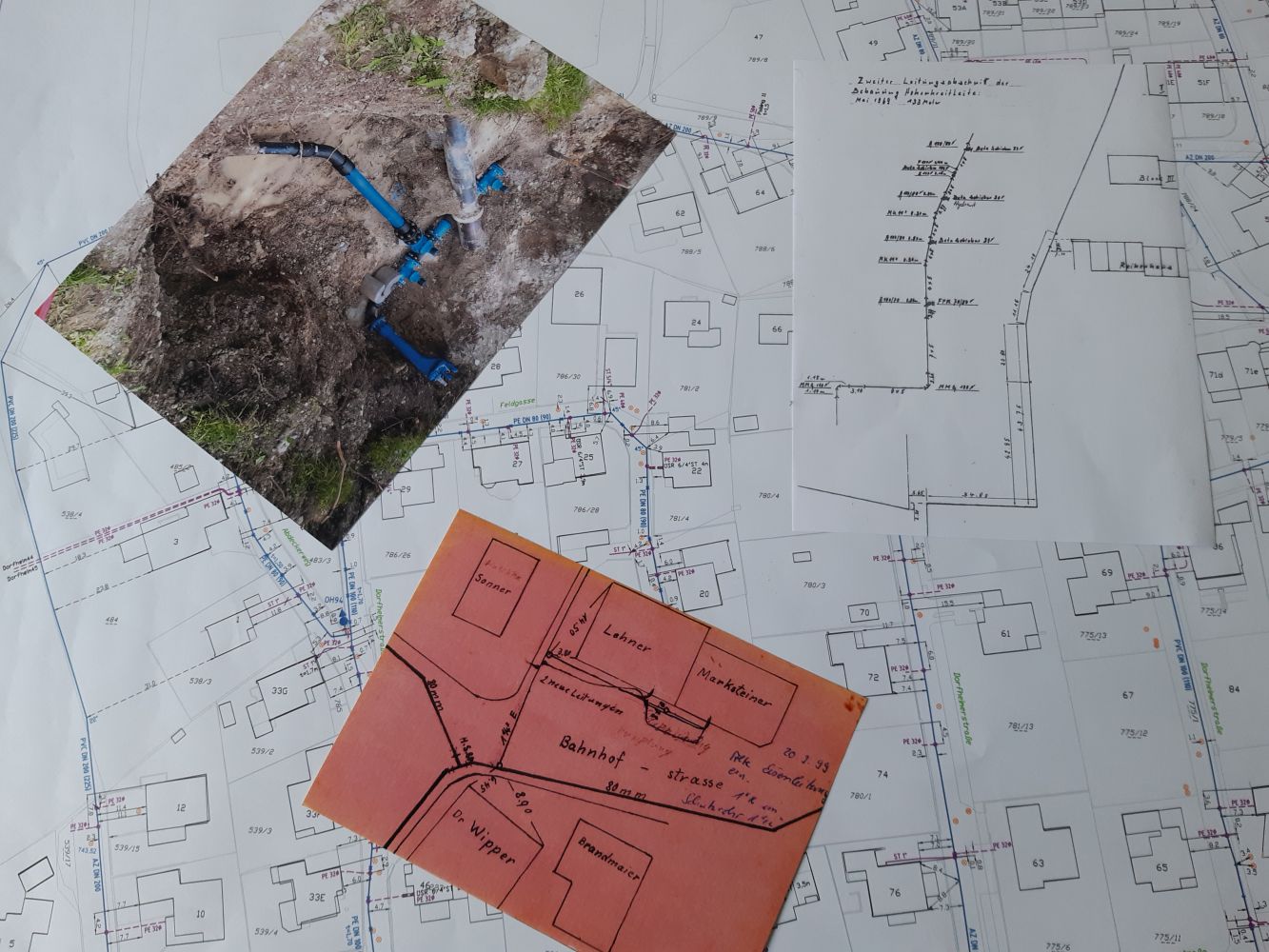
Project preparation by viewing, assessing and preparing existing digital and analogue planning documents of the respective utility (water, gas, sewage, electricity, district heating, etc.).
Topgraphic survey
GPS or tachymetric recording of all marked line points with subsequent evaluation for further use in digital plan creation.
Digitial pipe network and mapping
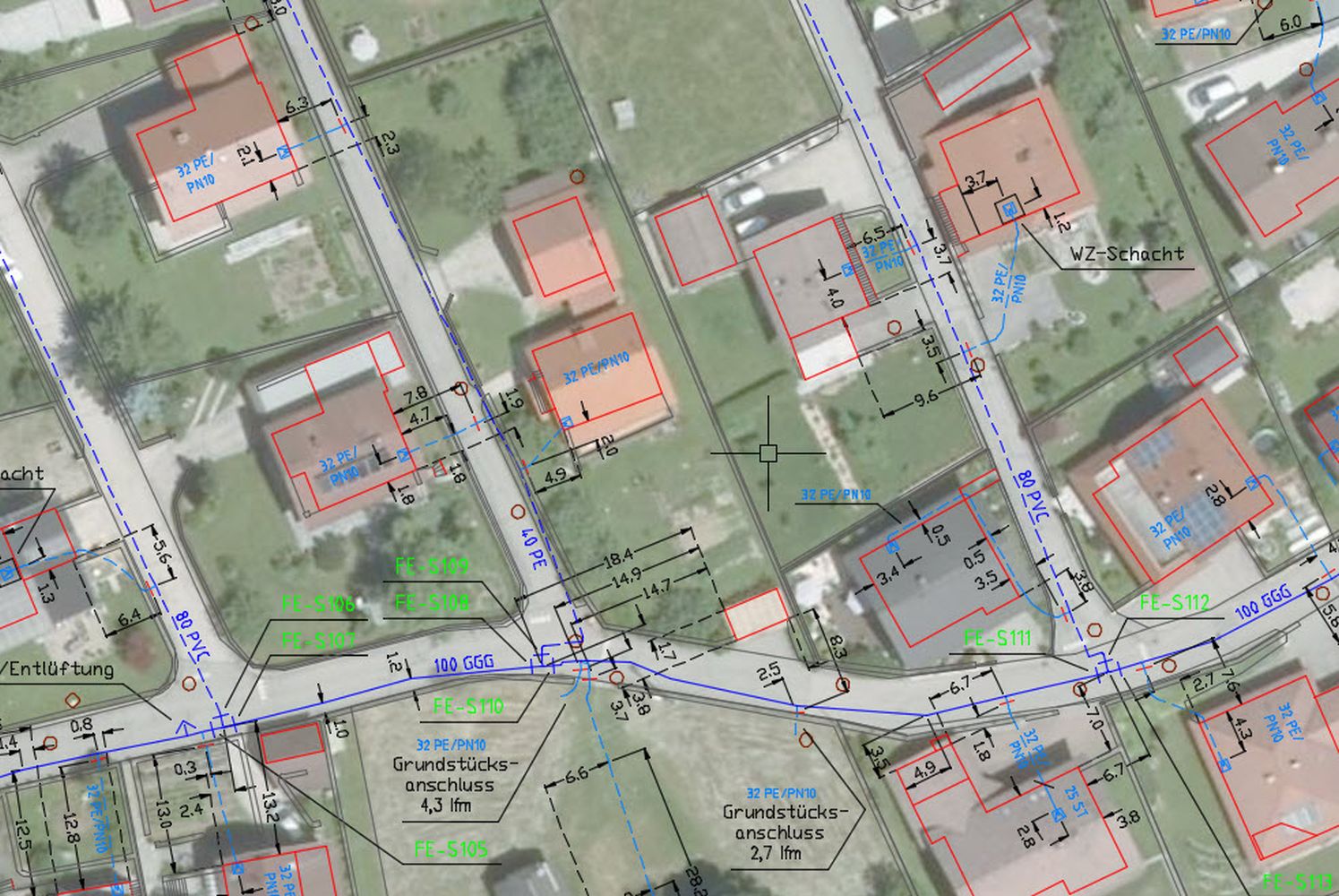
All existing line data (surveying, plans, etc.) are transferred and managed graphically and alphanumerically into the network information system on the basis of the field map. Due to the separate administration on different levels (main line, connection line, house connection, dimensioning, etc.), overview plans, multi-sector plans, hydrant plans, etc. are created from the recorded as-built plans. Digital maps are available in shape format for GIS.
Visualisation
By using the ViewNET information station, the operator has digital access to his inventory data. ViewNET offers the possibility for input, display and output of information as well as maintenance.
References